Welcome to GERS Laboratory!


WELCOME TO THE GERS LABORATORY!

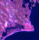
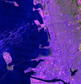
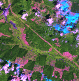
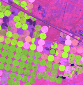
Viewing the Earth from space is a breathtaking experience. In the daytime, the green and brown masses of earth blend into the deep blue ocean, covered by curling wisps of clouds. At night, the globe is peppered with constellations of golden lights. The images we take of space have more than an aesthetic value; they facilitate research about how the Earth is changing by creating the big picture we cannot get from the ground. A central research theme of the Global Environmental Remote Sensing (GERS) laboratory is to understand how the world is changing based on quantitative remote sensing. We are interested in utilizing a variety of remote sensing sensors, including drones, small satellites, Landsat, Sentinel-2, MODIS, VIIRS, LIDAR, and Radar, to monitor environmental change at regional to global scales. The 'GERS' letters shown above are Landsat images, and the GIFs shown below are time series of Landsat data that illustrate land-water dynamics, forest change, urban disturbance, and agricultural practices over the past half-century.